
The weather on the Isle of Man is wonderful. It features cool summers, mild winters and is without threat of any major natural disasters. (how many places in the United States or Australia can say that?) Snaefell is the highest peak on the island (at 620 metres; 2,034 ft) and is part of one of two mountainous areas of the island. A valley including the capital, Douglas, lies between these two mountainous sections. One of the interesting features is the Calf of Man, a small islet to it's south, with its ow history and geography.

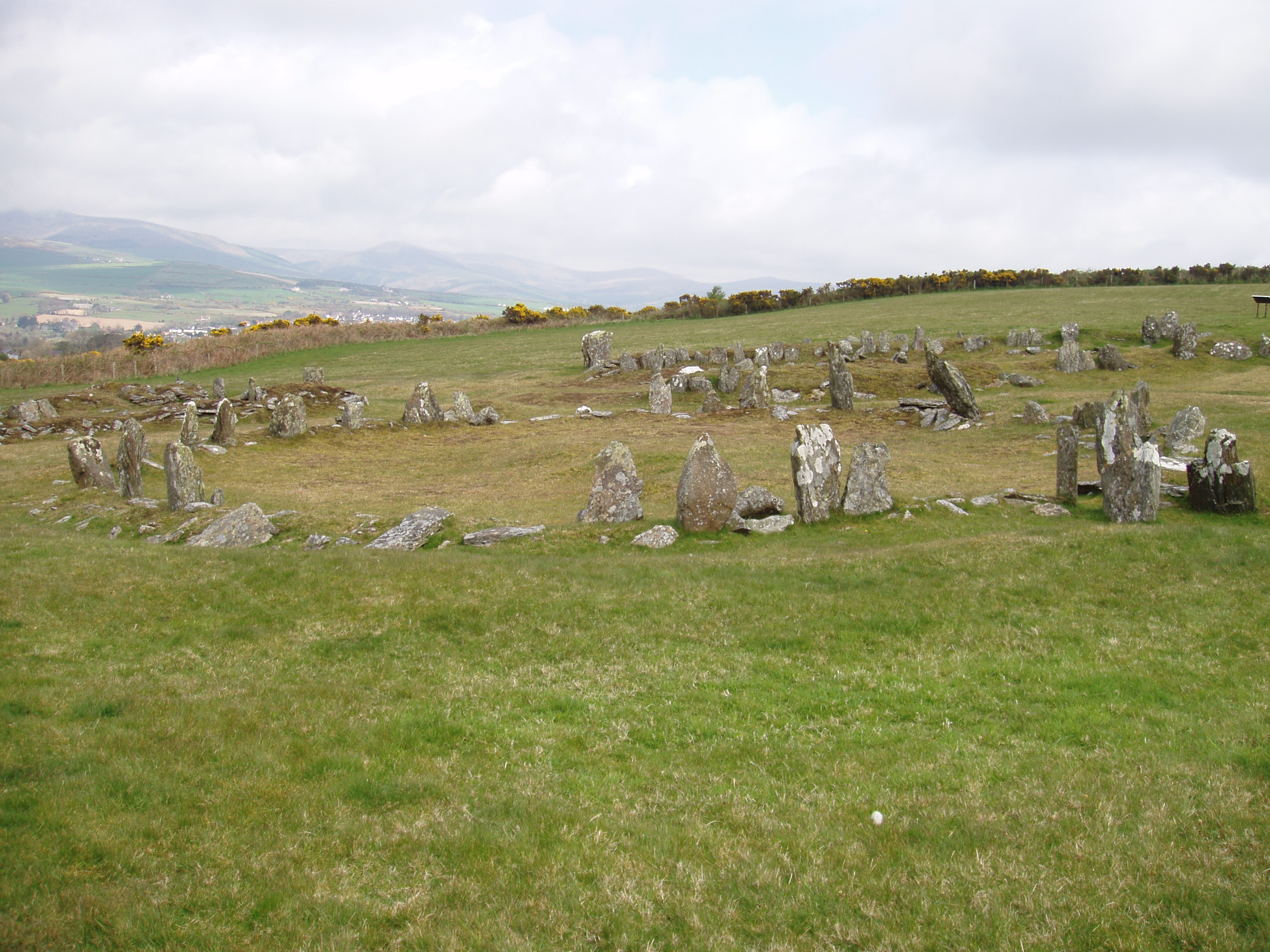
"Manx Heritage Trail, The Braaid is the site of an ancient Celtic-Norse era community. Remnants of a roundhouse in the foreground, c. 650 A.D. and remnants of two longhouses in the background, c. 950 A.D. can be seen here situated on the rolling hills of Marown in central Isle of Man." - Description and Photo: Gregory J Kingsley

Calf of Man seen from Cregneash
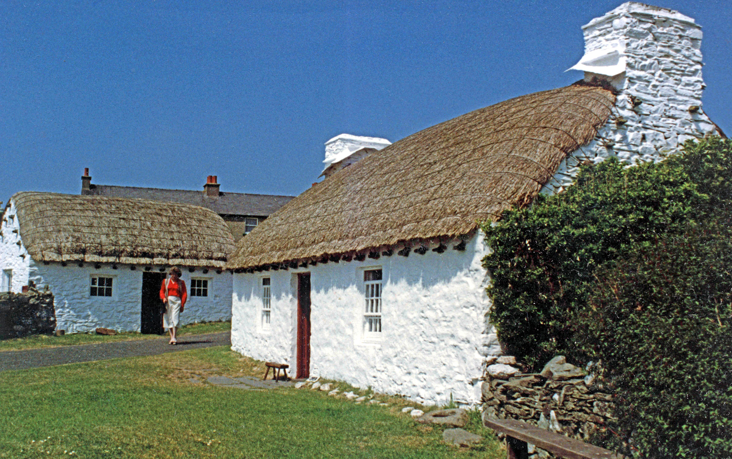
Cregneash Folk Museum, Isle of Man, with Harry Kelly's cottage (right) and Woodturner's workshop (left). Photo: RuthAS
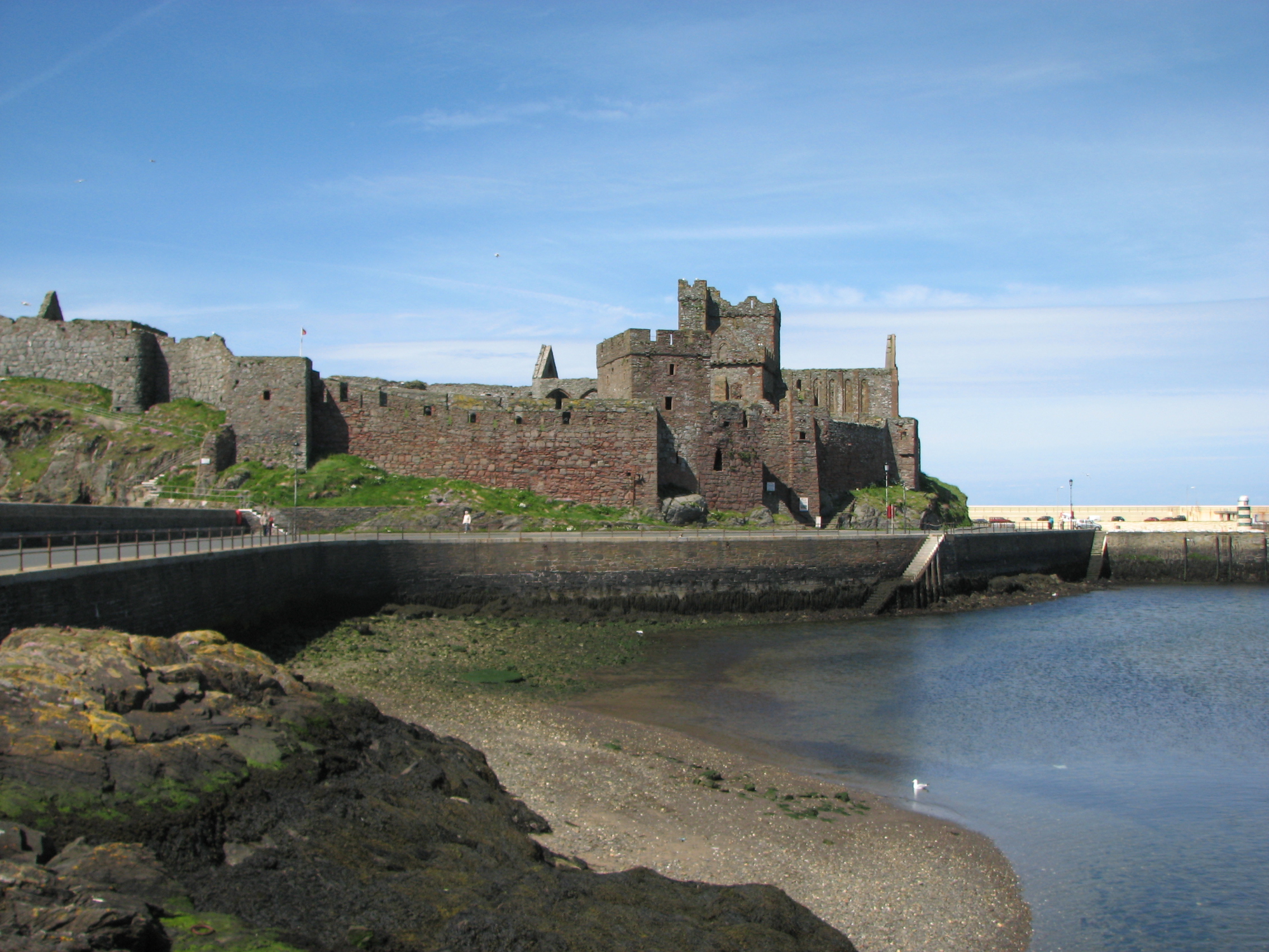
Peel Castle at Peel, Isle of Man. Photo: Finn Bjorklid

Photograph of windmill tower, South Barrule, Isle of Man, 2006. Photo: Andy Stephenson.

View from the top of Snaefell Mountain looking southwestward showing the mountainous terrain along the axis of the Isle of Man 2009. Photo: Gregory J Kingsley.

Snaefell mountain at isle of man. Photo: Finn Bjorklid.
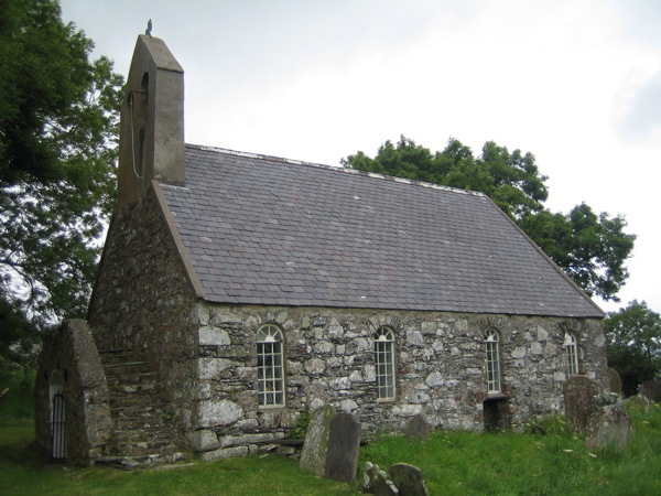
St Runius Church (parish of Marown), Isle Of Man. Taken by Bolebridge.
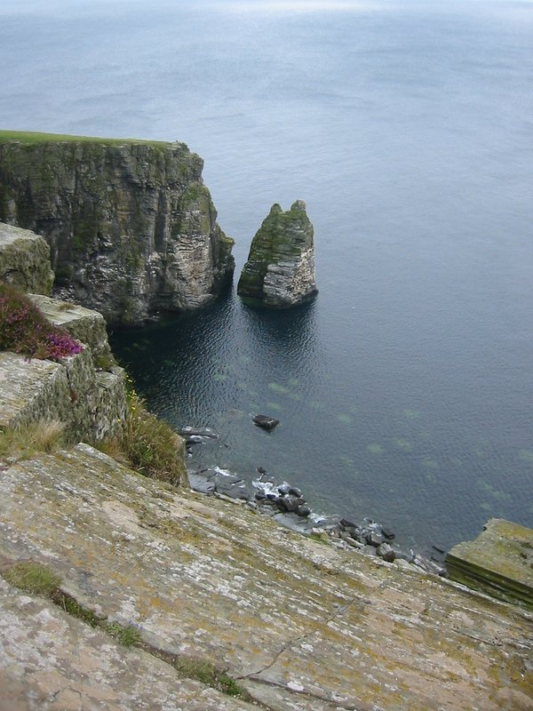
Stack at cliffs near Port Erin, Isle of Man 2005. Photo: Eirik Newth from Oslo.
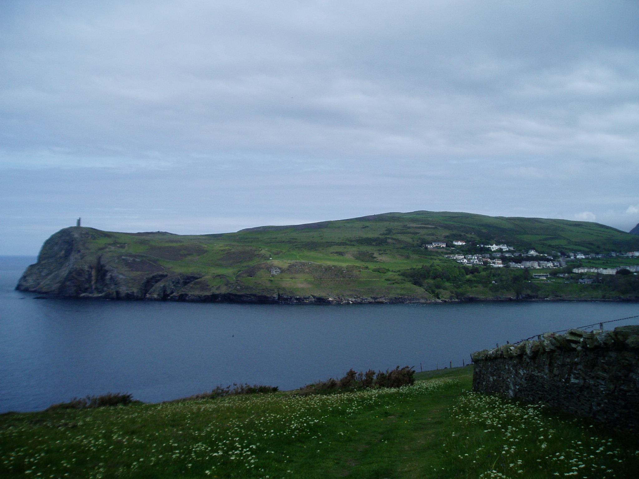
Picture of Bradda Head, with Milner's Tower. Port Erin is just to the right, 7th June 2005. Photo: ericbobson.

Groudle Glen Waterwheel, 2000. Photo: Trevor Rickard.
No comments:
Post a Comment