

Mount Nyangani from the west. The falls in the middle ground are on the upper Nyamuziwa River and the Tourist Path ascends to their right. The start of the Tourist Path is in the lower right of the picture. Photo: Babakathy

Nyama Falls, Mount Nyangani, Zimbabwe Photo: Babakathy.

Mtshabezi River, Gwanda, Zimbabwe Photo: Babakathy.

The Thuli River exits Thuli Gorge, south of Gwanda, Zimbabwe Photo: Babakathy.
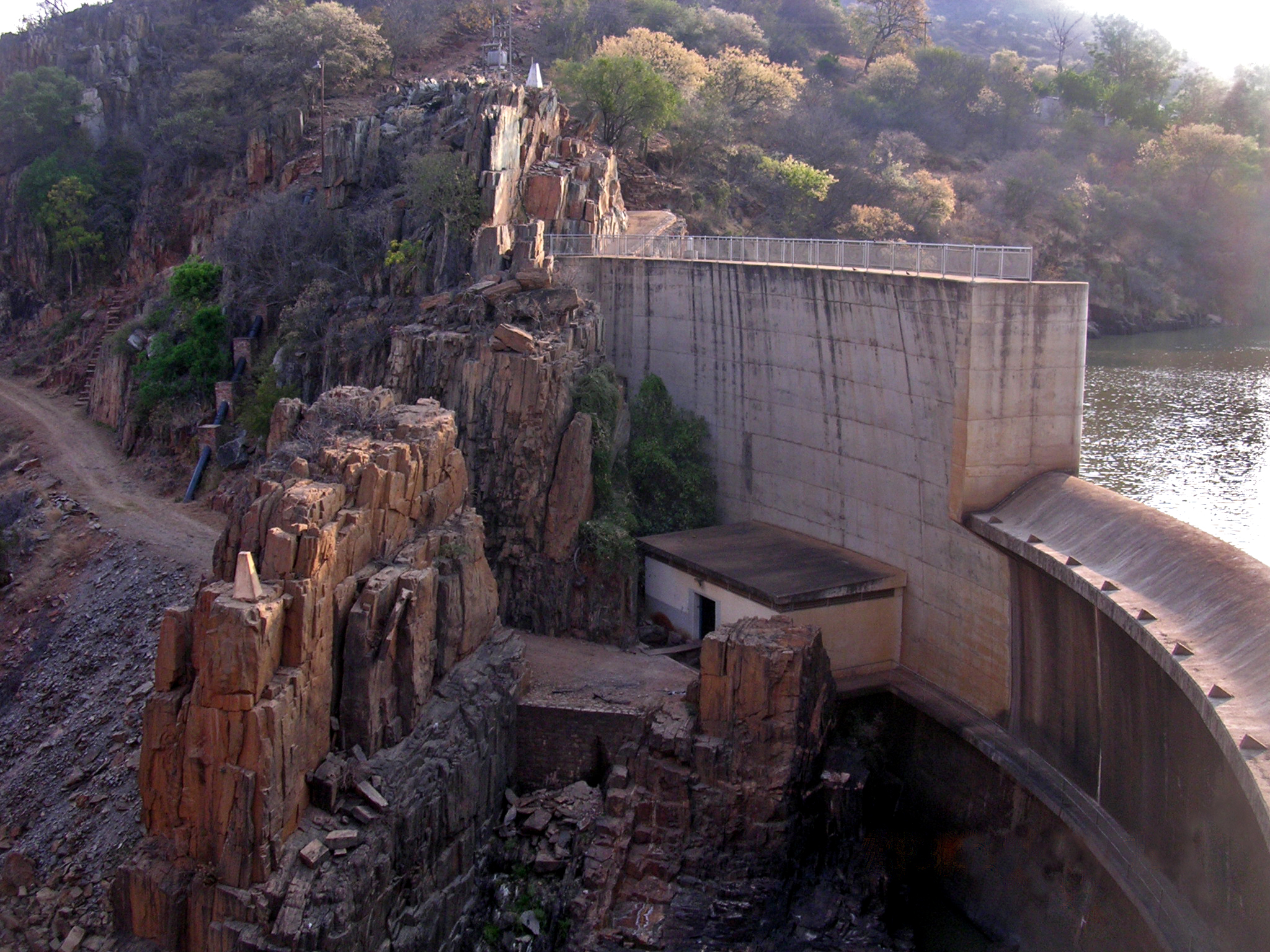
Thuli Makwe Dam , Zimbabwe Photo: Babakathy.
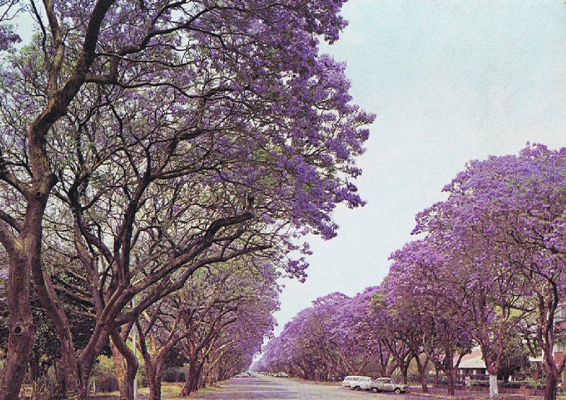
Jacaranda trees in Montague Ave, Salisbury, Rhodesia 1975

Bulawayo CBD Photo: Prince Phumulani Nyoni
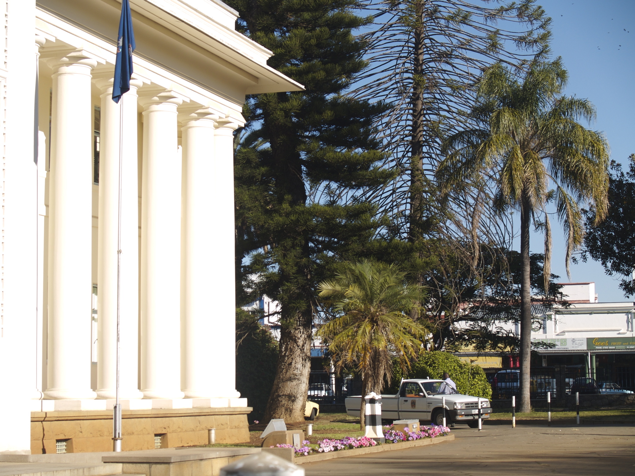
Bulawayo City Hall (2007) Photo: Scott Wheeler

Nyala Tree Manyuchi Photo: Macvivo

Swimuwini Rest Camp, Gonarezhou National Park, Zimbabwe (2007) Photo: Babakathy

Bridal Veils Falls, a waterfall in the hills outside Chimanimani in the Eastern Highlands of Zimbabwe.
No comments:
Post a Comment