There are some special places on earth that people have connected with on a deeper level than other places. Israel, Greece, Japan, The British Islands, India, Peru, all have rich cultural and mystical aspects, with landscapes which inspire and have set the scene for history--more so than other places. Another place like this is the Sonoran Desert of North America.
North America has several Desertes. The largest is the Great Basin. The Chihahuan desert is the second largest, the Mojave the smallest. The Sonoran, is probably the most famous. The Sonoran desert is also home to the most famous and iconic desert plant in the world--the saguaro cactus. And believe it or not, this cactus, is native to only this desert. No where else on earth naturally has saguaro cactus.
The Sonoran desert is a land of rich diversity. Along with the iconic saguaro cactus, few plants are as iconic as the creosote bush (
Larrea tridentata). Ocotillo, cholla, prickly pear, mesquite and palo verde are also important plants. When I was in Palm Srings, Coachella area a year or two ago, which is in the Mojave desert, I saw tons of 'jumping cholla'. Though I am sure footed, I was a victim of this cactus. I really liked them though--even if they do seem to jump out and stick you. Surprisingly there are 30 native species of fish in the Sonoran desert. In geologic time, the Sonoran desert is recent (see my post on
Geography Changes for how geography isn't constant-in fact far from it).
This desert has fewer natural disasters than many other areas. Flash floods, lightning storms and days of extreme heat are a few of the risks. One interesting phenomenon, which have been in the news lately are the somewhat rare Haboobs. The Phoenix Haboobs of 2011 were a reminder of strange weather phenomenons not commonly known. The Phoenix Haboob of 2011 was national headlines and several more have already happened this year.
Now that the summer is going to begin slowly lifting its terror off of the southwest, I can actually bear to highlight this region.


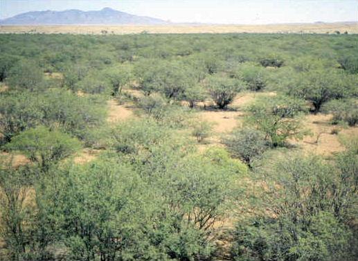
Scene in Saguaro National Park.

Organ Pipe Cactus National Monument, Arizona, USA.

Two arches in organ pipe cactus national monument. Taken Christmas Day 2000 by Pretzelpaws with a Casio QV-3000EX camera, 2004-10-27 Photo:
Pretzelpaws.
Hohokam Pima National Monument, Arizona, Jan 17, 2008. Photo:
BruceandLetty .

I love old photographs!
Saguaro National Park, East Unit, Southern Arizona - ca. 1935, USGS

"This is an image of the Sonoran Desert approx. 30 miles west of Maricopa, AZ. (Near 33.081359, -112.431507)" Caption and photo by:
Highqueue. January 2007
(2007-01)..

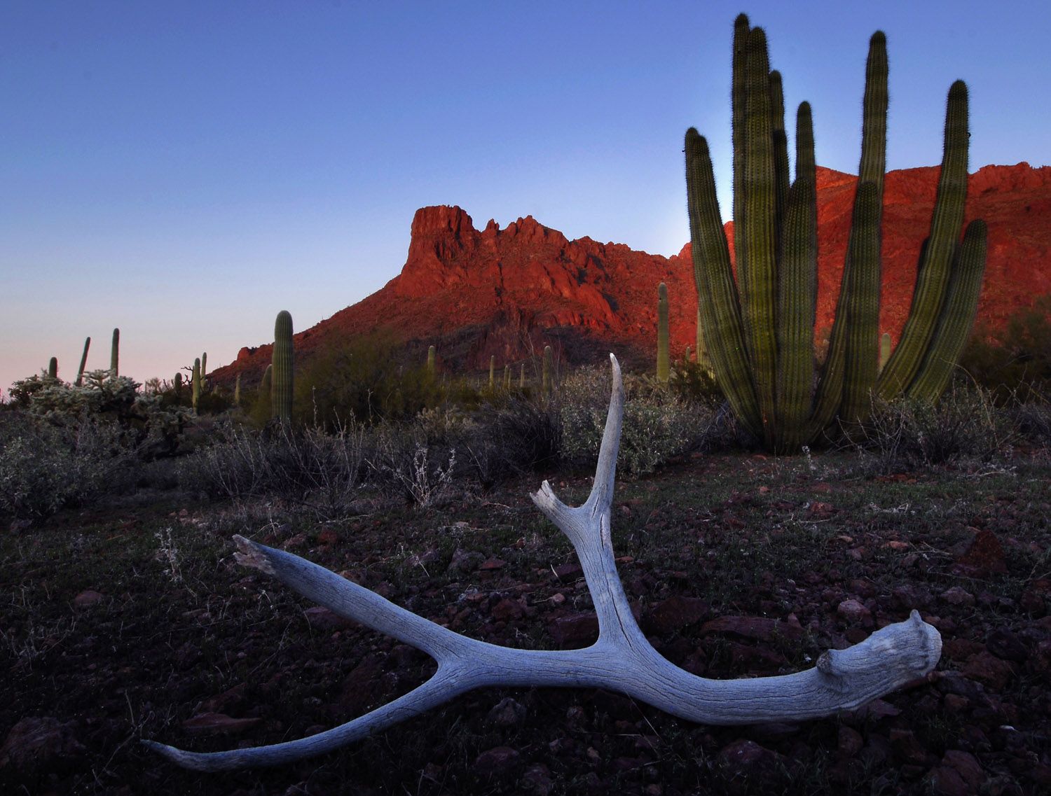
Organ Pipe & antler, OPNM, 21 July 2007.
Photo:
PDTillman.

Taken at the Arizona-Sonora Desert Museum. December 2006
Photo: Santryl


180° Panorama on Playa Santispac of Bahía Concepción, Baja California Sur. Several islands are visible in the bay: (left to right) Isla San Ramon, Isla Blanca, and Isla Coyote. On the right is Playa Concepcion with its associated developments visible. Photo by Gregg M. Erickson. 17 December 2009
(2009-12-17)"...

View of Tiburon Island across Infiernillo channel.
Stephen Marlett, 2007.

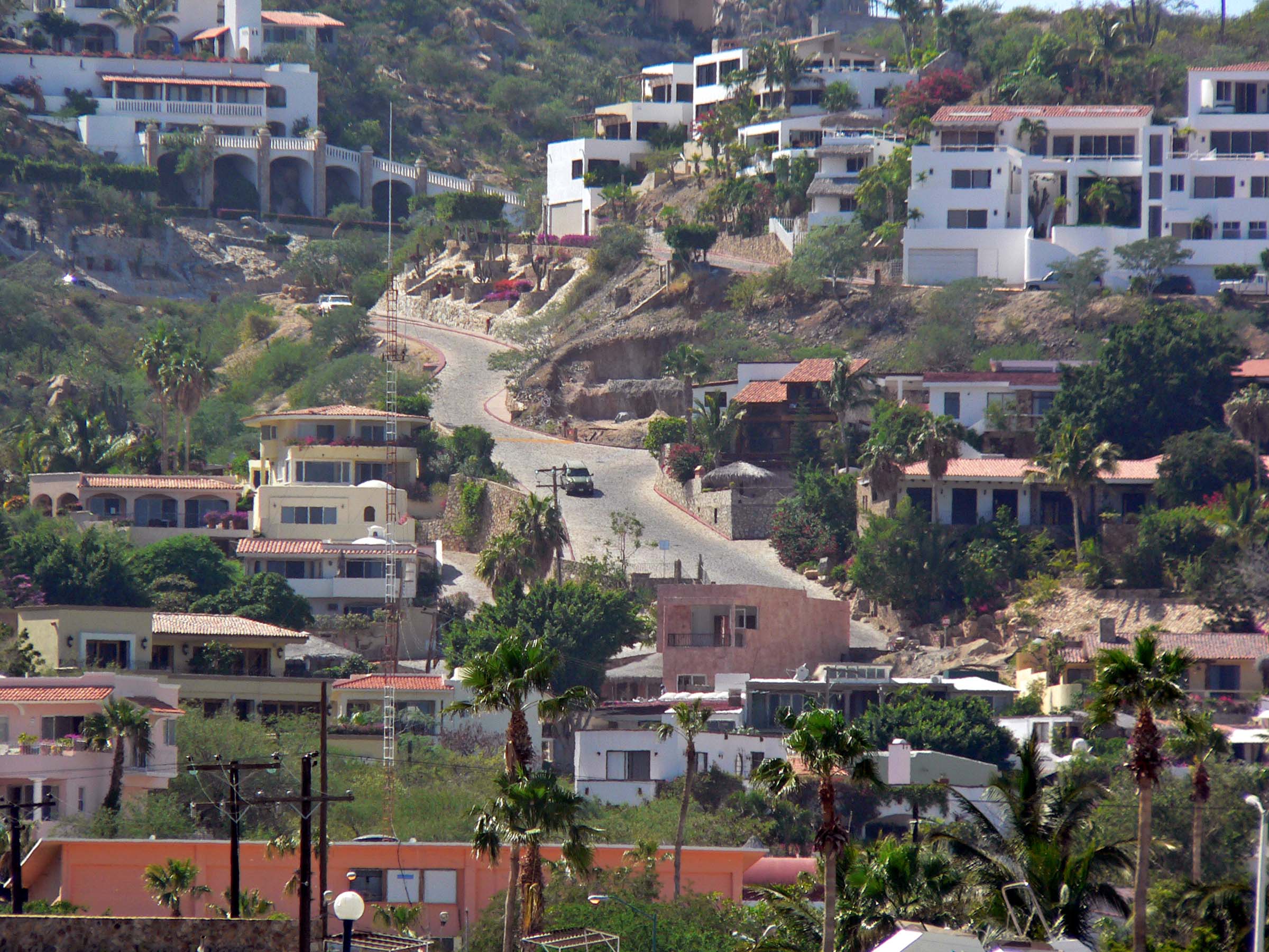
Photo of street in
Cabo San Lucas, Mexico, taken November 2005 by
Stan Shebs

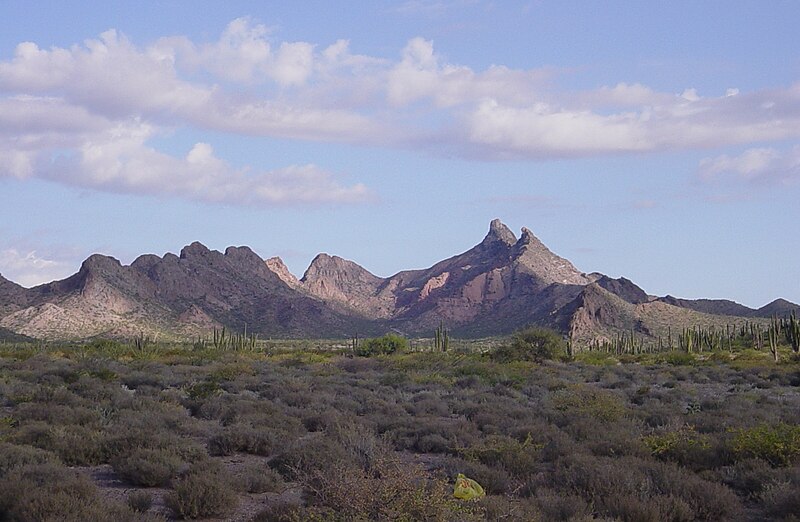
Baja California Desert in the Cataviña region, south of Ensenada, Mexico.
Saguaro cactus. May 2003.
Chaparrales de Sonora, México 2004.

Cottonwood tree along Santa Cruz River on Juan Bautista de Anza National Historic Trail. Photo by Matthew A. Lynn.
Sunset in the Sonoran Desert, Mexico. Atardecer en el Desierto de Sonora, Mexico. Tomas Castelazo.
 Hotels in Puerto Peñasco Gabrieel13

Photos from Cerro de Trincheras in Sonora, Mexico 10 January 2010
(2010-01-10), Photo: Matt Peeples.

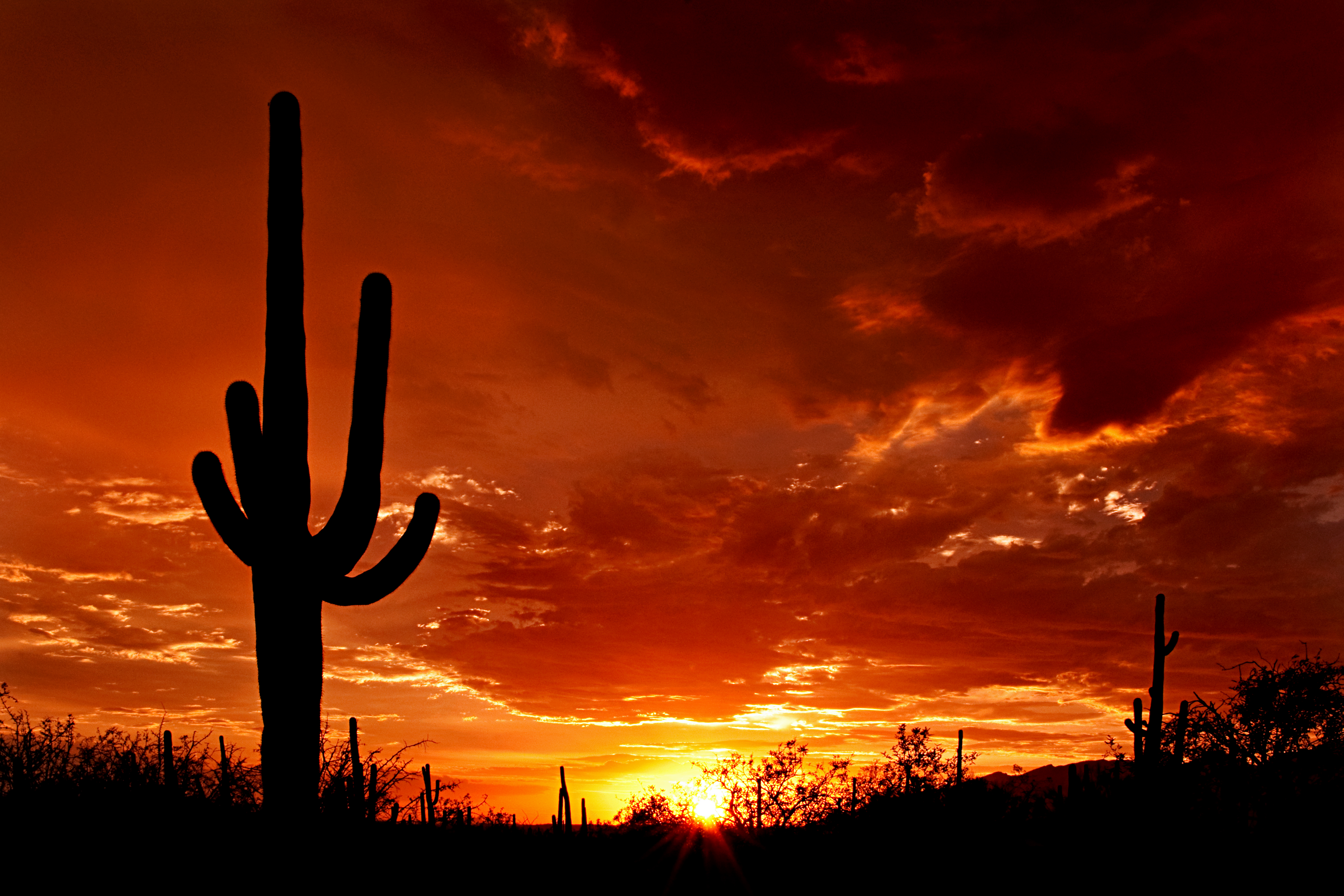
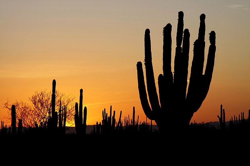
The silhouette of a large saguaro stands at sunset in Saguaro National Park on the east side of Tucson, Arizona, 2010. Photo: Saguaro Pictures.

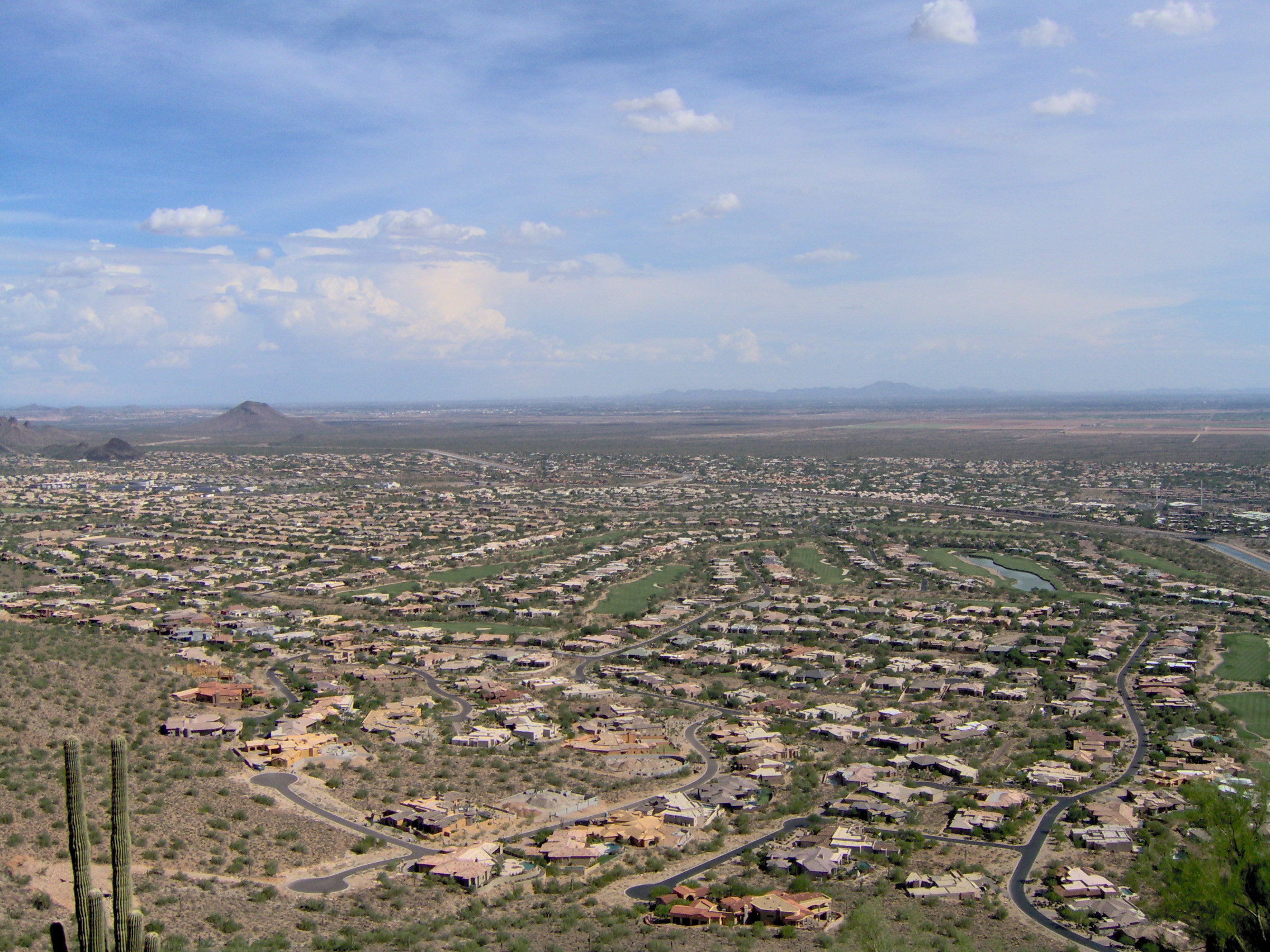
Scottsdale, Arizona.

Taken atop an unnamed hill in Scottsdale, Arizona.

Glendale, AZ during the Glendale Glitters 2004. Taken by user Evette.

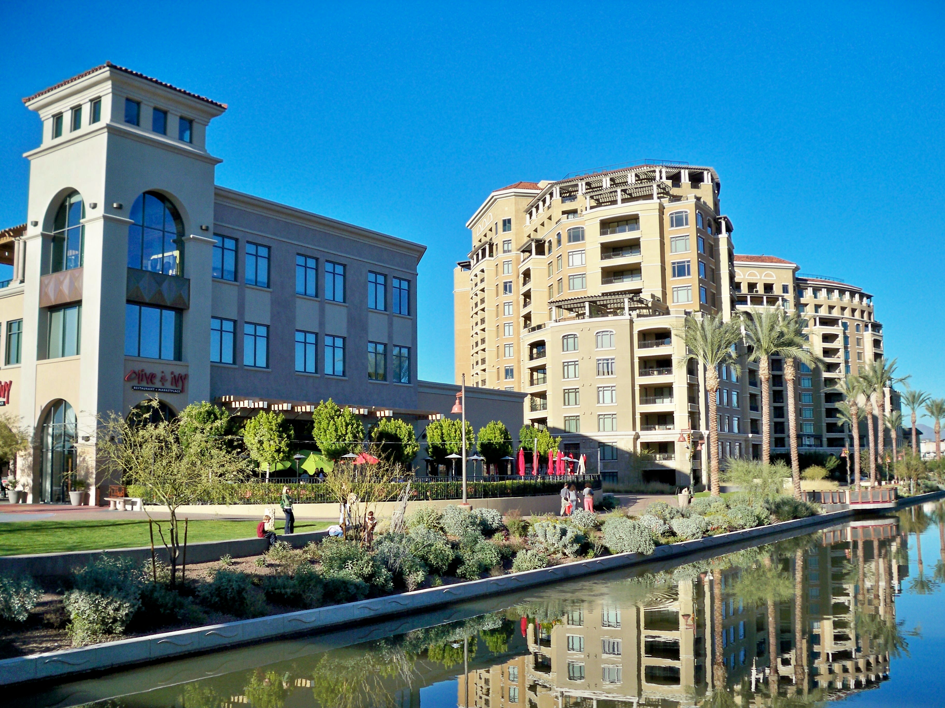
View of the Scottsdale Waterfront on a clear December day. Photo taken from the new pedestrian bridge connecting the Marshall Way shops with the Fifth Avenue arts district. 31 December 2008, Joseph Plotz.

Saguaro National Park, Arizona, USA. Photo by Hugh Mason.
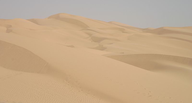
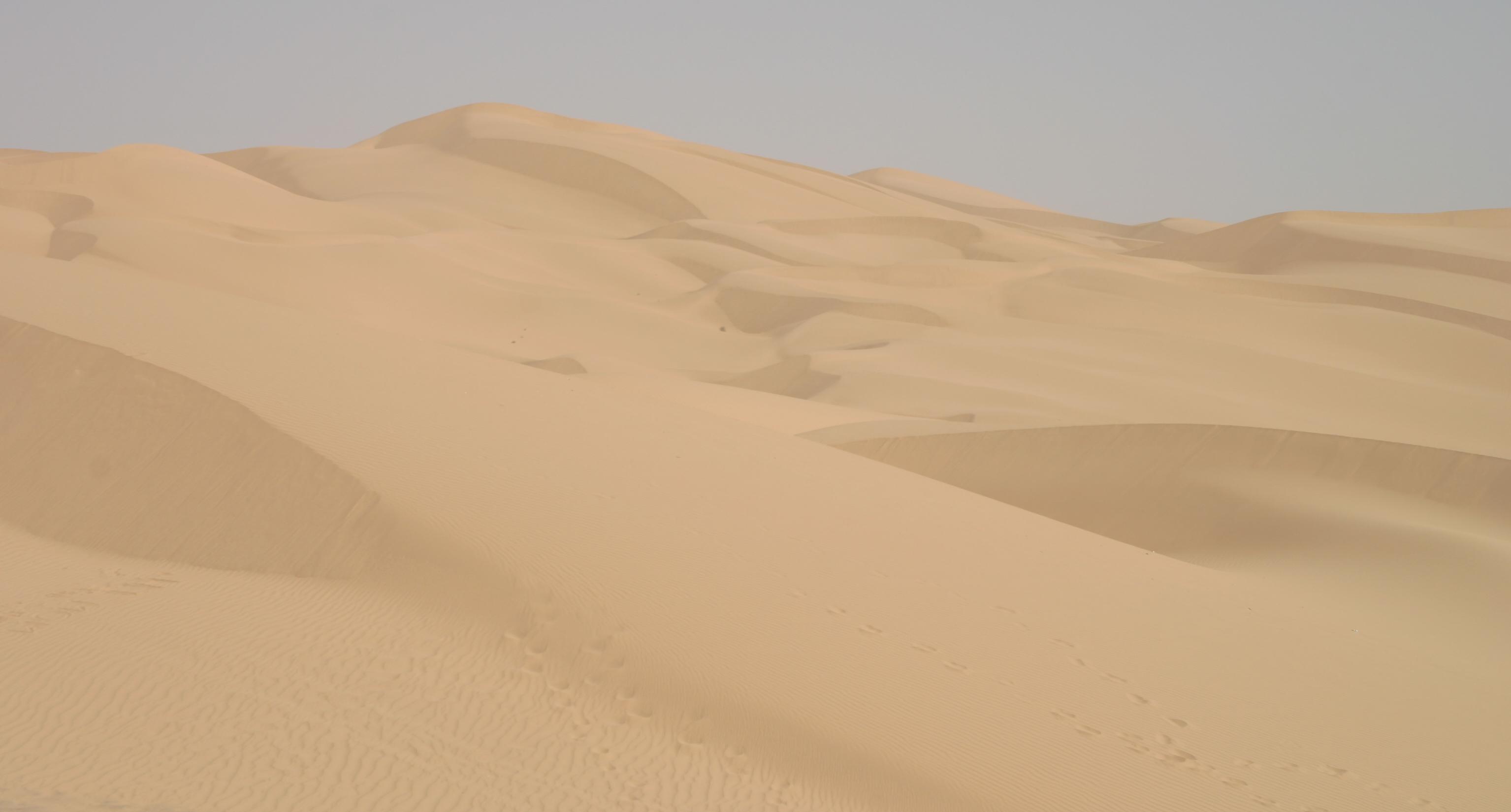
Imperial Sand Dunes, Glamis, CA. Taken 8/8/03 by Pretzelpaws with a Canon 10D camera and cropped using the Gimp. 26 January 2005. Photo: Pretzelpaws.
Hastéecöla peaks near Kino Bay, Stevemarlett. 2007.
*Beautiful Picture!
| Scottsdale waterfront.jpg |
|---|