
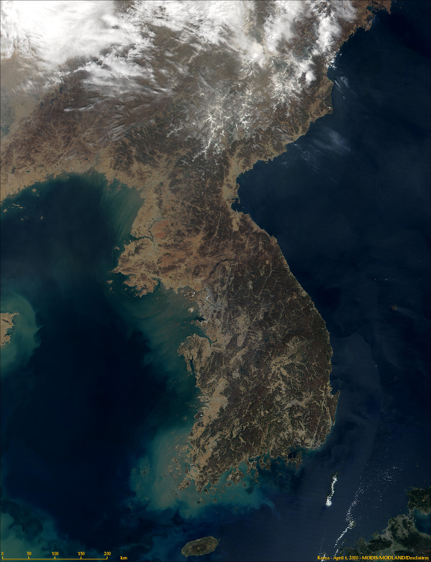
Sadly, due to the large population on the relatively small peninsula, space is limited. Much of the once pristine land is being destroyed. Some of the major rivers are the Kum, the Naktong and the Han. The penninsula which has been settled for at least 10,000 years is inhabited by people decended most likely from Siberia, Mongolia, or both.

Teheran Ave in Gangnam-gu, Seoul, South Korea. 1 July 2007 Photo: Patriotmissile .

The scenery of Dobongsan (Mt.Dobong), Seoul, South Korea 8 July, 2006. Photo: flowerguy
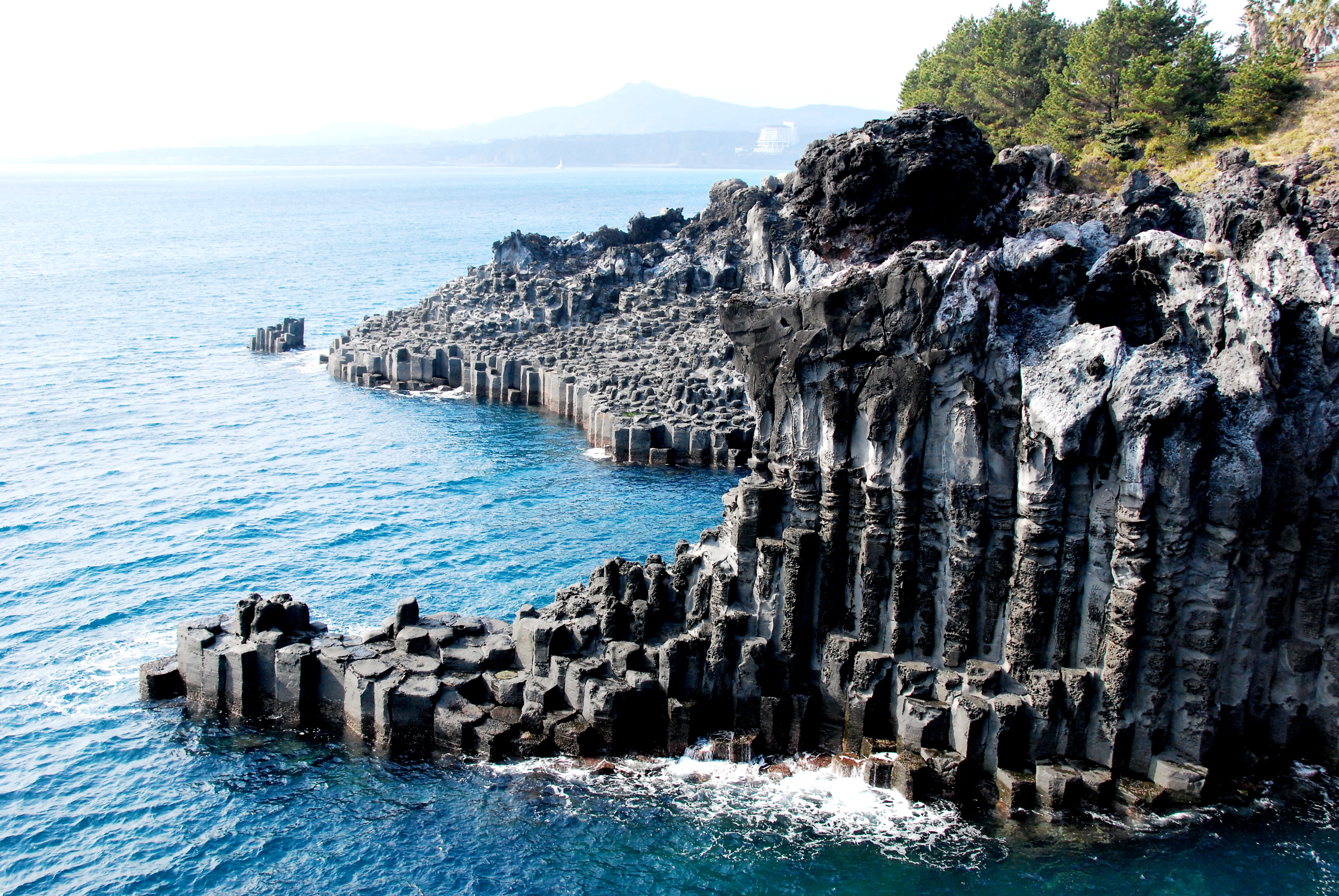
Jeju-do, South Korea 7 Febuary 2008. Photo: Martin Chen

The Gotjawal Forest, on Jeju-do Island, off South Korea. Seen from the Peace Museum in the western part of Jeju-do. The Gotjawal Forest is very rare on the island and in South Korea, because most of the flat terrain has already been developed for agricultural or industrial purposes - in this densely populated island and country. April 25, 2009 Photo: Yongchangjang .

The Gotjawal Forest in Jeju Island, South Korea. Because Gotjawal Forest is formed on rocky areas, as this picture shows, rainwater penetrates into groundwater aquifer directly, making the Gotjawal forest the most important ecology for water resources in Jeju-do, a volcanic island. August 29, 2008 Photo: Yongchangjang .

A Gloydius Ussuriensis snake on the forest floor. Observed in the Gotjawal Forest, in the Dong Baek Dong San (the Camelia Forest) habitat, on Jeju Island, off South Korea. 20 December 2008 Photo: Yongchangjang .

Waterfall, 2005 Photo: Shizhao .

Hot Springs, 2005. Photo: Shizhao

Changbai Shan 14 June 2008. Photo: Mätes II

Gwaneum Peak at Songnisan in South Korea. The photograph was taken from Munjandae. 22 April 2007 Photo: Yoo Chung .
Mount Worak Korea April 2008 Photo: Rhythm

Seoraksan, 23 October 2004. Photo: Seaniz .
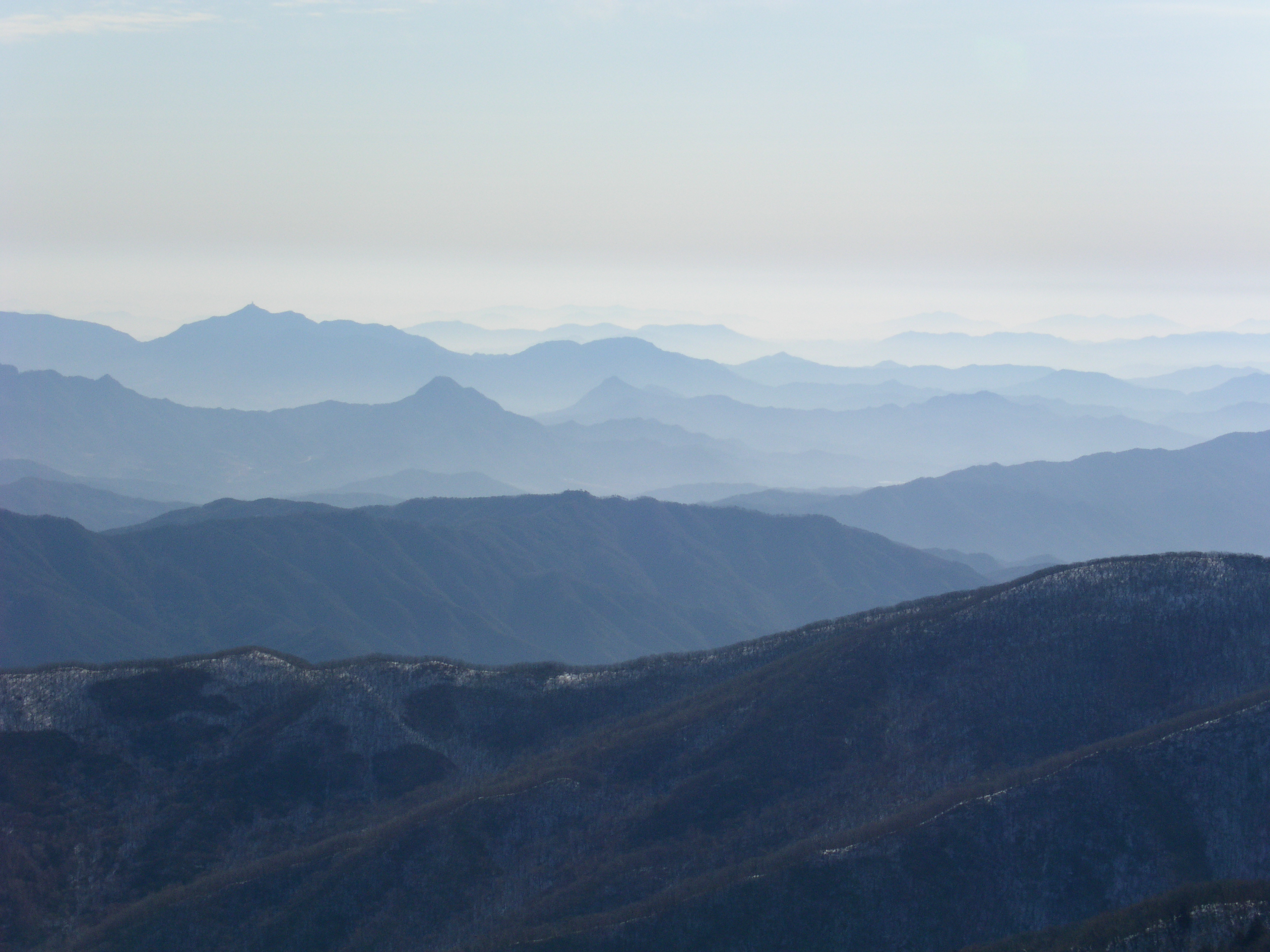
Photograph of Deogyusan in the South Jeolla province of South Korea, taken from Hyangjeok Peak. Photo: Yoo Chung , 30 December 2006

Sobaeksan National Park. 'Snowed flower of sobaeksan' 5 January 2003, Photo and Description: Joone Hur.
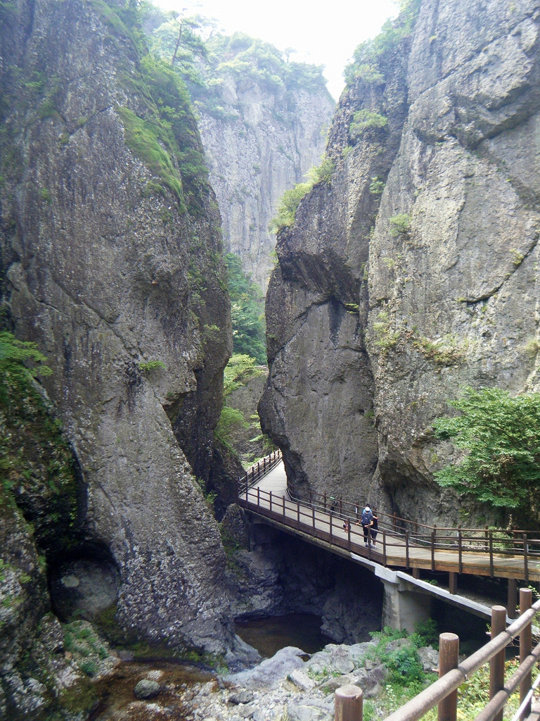
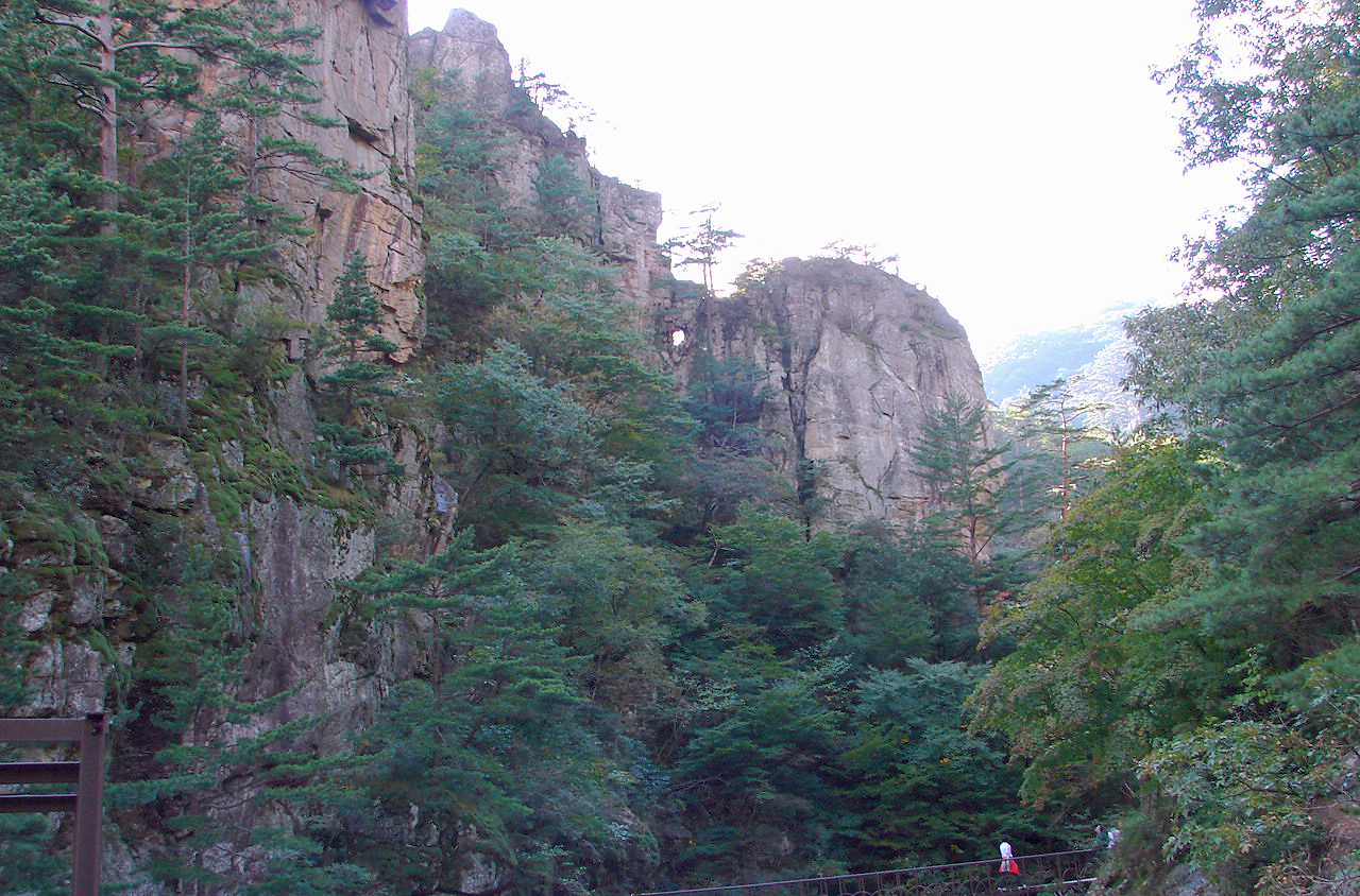
Canyon in Juwangsan National Park. September 1, 2010. Photo: garycycles3 .

Crater lakes on the vulcano Hallasan , Jeju-do island.

Waterfall on Jeju Island, Korea, 24 February 2006 Photo: Douglas Knisely
Odaesan National Park, located in the province of Gangwon South Korea was designated as a national park in 1975, is named after the 1,563-meter Odae mountain. The name "Odaesan" means "mountain of five plateaus", which refers to the five plateaus found between its five peaks. 20 November 2010. Photo: Steve46814 .

Hongdo Island in the Dadohae National Park area located in Sinan-gu, Jeollanam-do, South Korea. 2 May 2008. Photo: justinjfj .

Cairns on Baekdu Mountain 2005 (border between North Korea and China).
中文: 许多人来到长白山,在天池附近将石头堆成高高的一堆,以表示自己的祝愿 Photo: Shizhao

长白山天池的水从长白瀑布落下后,向山下流去。
Baekdu Mountain 2005. Photo: Shizhao .
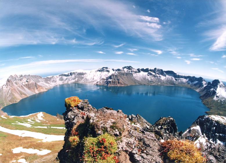
A crater lake at Tianchi (Heaven Lake, 天池) at Baitou (Chinese Changbai Shan) at the border of China and North Korea. 17 June 2005. Photo: Bdpmax .

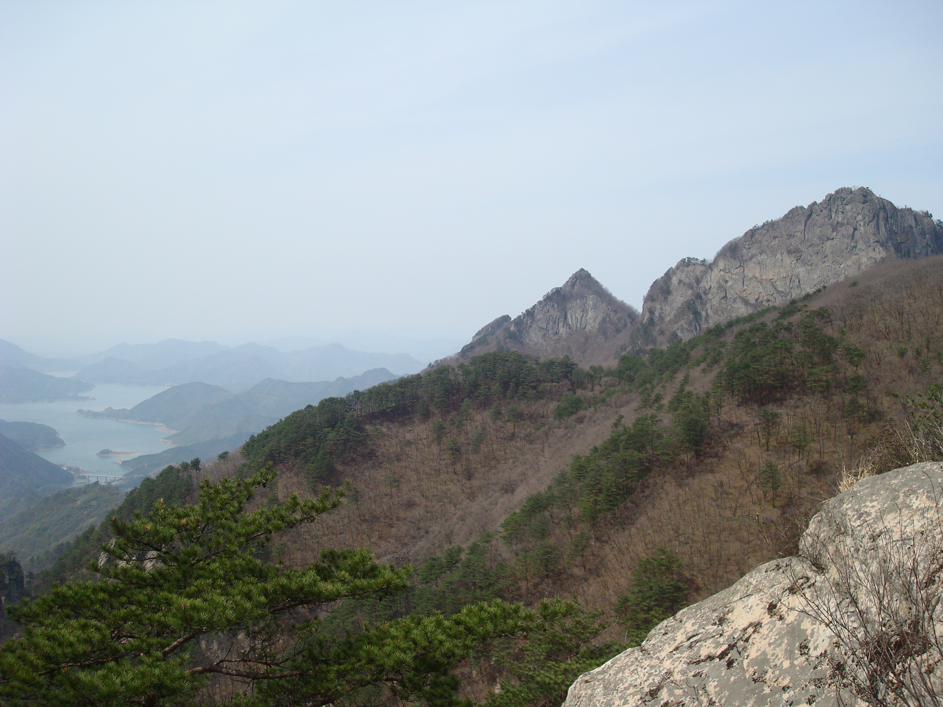
The scenery of Jirisan, in South Korea, 2006. Photo: eimoberg .
No comments:
Post a Comment